 Ваша корзина: 0
 |
|
|
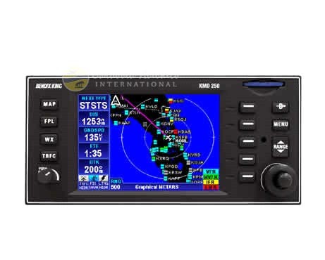
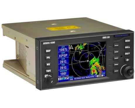
Multifunction Display System
Brand: Honeywell Bendix/King
Features
* 3-inch Multifunction Display System
* Combines display for GPS moving map, traffic, data link and terrain with compatible sensors
* Incorporates detailed topograhy database displaying relative or absolute terrain
* (terrain relative to aircraft or terrain based on position above/below sea level)
* Cartographic database contains towers (US only), rivers, roads, airports, VORs, NDBs, intersections, airways, SUAs, cities, railroads, lake names, and runway diagrams
* Accepts and displays lightning from optional WX-500 Stormscope
* Accepts and displays data link weather from optional KDR-510 Mode 2 Datal Link Receiver
* Accepts and displays traffic information from optional TAS or TCAS Systems
* Provides Traffic Information Services (TIS) via interface to optional KT-73 Mode S Transponder
* (Note: TIS displays transponder-equipped aircraft within 3000 ft. +/- of aircraft within 7.5 nm range)
* Joystick/knob lets user point, scroll, and move easily through pages and selections
* Quick tune features loads frequencies from KX-155A or KX-165A radios
* Optional VFR GPS can serve as backup for external GPS with auto switch-over if external GPS fails
* COMPATIBLE SENSORS
* Weather (Lightning):
* Goodrich WX-500 Stormscope
* Goodrich WX-1000E Stormscope (see above note)
Traffic:
* Ryan 9900BX TCAD
* KTA-870
* KMH-880
* KT-73 (Forthcoming)
* TCAS I
* TCAS II
Position:
* KLN-89B
* KLN-90B
* KLN-900
* KLN-94
Datalink:
* KDR-510
Сопутствующие товары и услуги


