 Shopping cart: 0
 |
|
Physical & Performance: |
|
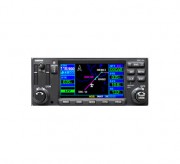
| Unit dimensions, WxHxD: | 6.25"W x 4.60"H x 11.0"D (15.9 x 11.7 x 27.9 cm) |
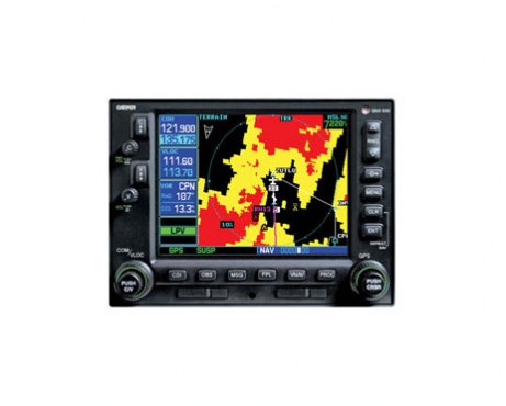
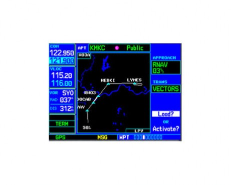
| Display size, WxH: | 4.0"W x 3.0"H (10.2 x 7.6 cm) |
| Display resolution, WxH: | 320 x 234 pixels |
| Display type: | 8 color TFT LCD |
| Weight: | 9.5 lb (4.3 kg) |
| Voltage range: | 14-28 |
| Built-in VHF Comm: | yes, 8.33/25 kHz channel spacing |
| Transmit power: | 10 watts minimum; 16 watts minimum (GNS 530A) |
| Built-in VOR/Loc/Glideslope: | yes, ICAO annex 10 FM compliant |
| Receiver: | 12 channel |
| IFR or VFR: | IFR |
Maps, Databases & Memory: |
|
| Basemap: | yes |
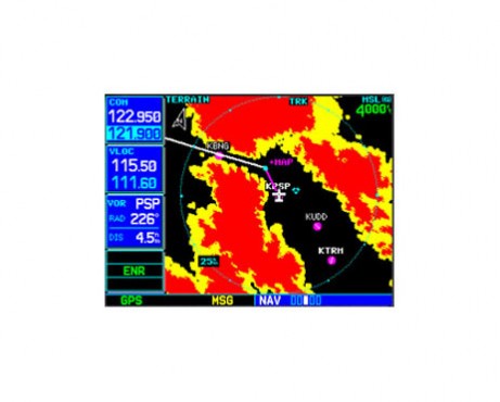
| U.S. Terrain and Obstacles database: | yes |
| Navigation database (includes Jeppesen® data): | yes |
| Types of Jeppesen data: | full and non-precision approaches, DPs and STARs |
| Navigation database coverage areas: | Americas, International or Worldwide |
| Waypoints/favorites/locations: | 1,000 |
| Flight plans: | 20 reversible; up to 31 waypoints each |
Features: |
|
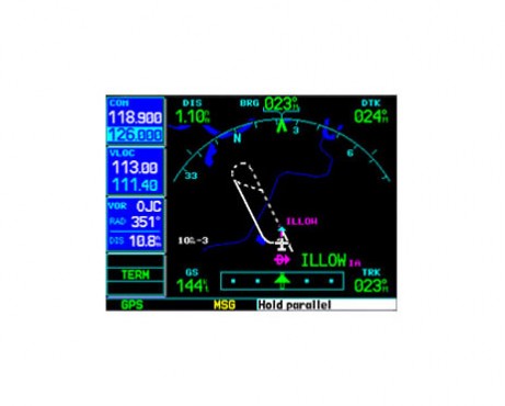
| Fly WAAS approaches: | yes |
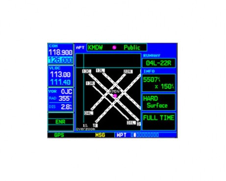
| Moving map: | yes |
| Front-loading datacards (conveniently update database information): | yes |
| XM WX Weather & Radio for U.S. & Canada compatible: | yes |
| Traffic Information Services (TIS) alerts compatible: | yes |
| Class B TAWs alerting compatible: | yes |
Related goods and services


